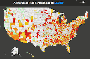
Megaputer Intelligence offers a publicly available interactive geo-map forecasting COVID peak dates for individual US counties, and the number of active cases and cumulative deaths at the peak. The map displays daily predicted numbers of COVID-19 confirmed and active cases, as well as recoveries and deaths for each US State and county, along with the dates and locations of possible shortages of medical resources. Megaputer is providing these forecasts free of charge at the following address: https://covid19.polyanalyst.com


